Though Charleston’s Jewish history, dating back to the late 17th century, is becoming better known to academics, most people are unaware of the basic facts. How many know, for example, that 200 years ago Charleston boasted the largest Jewish population on the North American continent, and that Carolina claims many firsts in Jewish history—the first Jew elected to public office in the western world, the first Jewish patriot to die in the American Revolution, the first dissidents to introduce Reform Judaism to the United States? How these milestones were reached is a compelling story in itself.
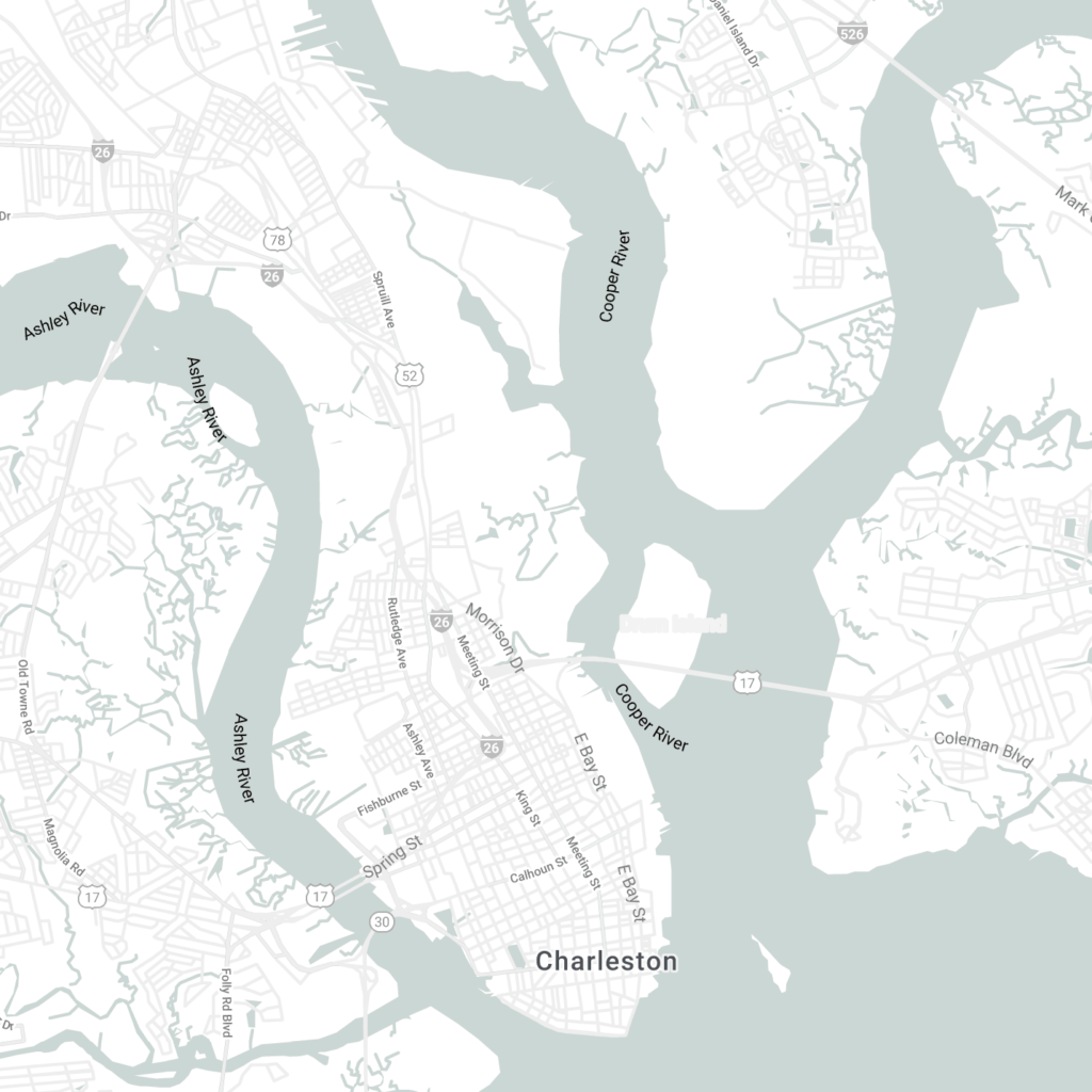
Jews have lived side-by-side with other Charlestonians throughout the city’s history, and since the city itself grew and changed over the years, we cannot rely on a single map or web page to tell the panoramic story. We invite you explore the Jewish presence in Charleston over the centuries through images and texts from our archives, plotted on historical maps that document the shifting geographical distribution of Jews and Jewish institutions across the urban landscape.